
4.6★
794 reviews
2018-01-02
Released
2026-01-29
Last Updated
Rankings
| Category | Collection | Rank | Date |
|---|---|---|---|
| NAVIGATION | top-grossing-ipad | #20 | 2026-03-12 |
| NAVIGATION | top-grossing | #66 | 2026-03-12 |
| NAVIGATION | top-free-ipad | #202 | 2026-03-12 |
Screenshots


About TZ iBoat – Marine Navigation
Navigate the seas with the world’s #1 marine charts app for coastal boating, sailing, and fishing with or without internet. GPS, anchoring, radar, AIS Online, tides & tidal currents... This next-generation chartplotter is essential for sailors, boaters and fishermen of all levels!
DISCOVER THE #1 BOAT APP YOU NEED AT SEA!
TZ iBoat is the most complete and advanced boat navigation app on the market, it gathers all the features necessary for safe maritime navigation:
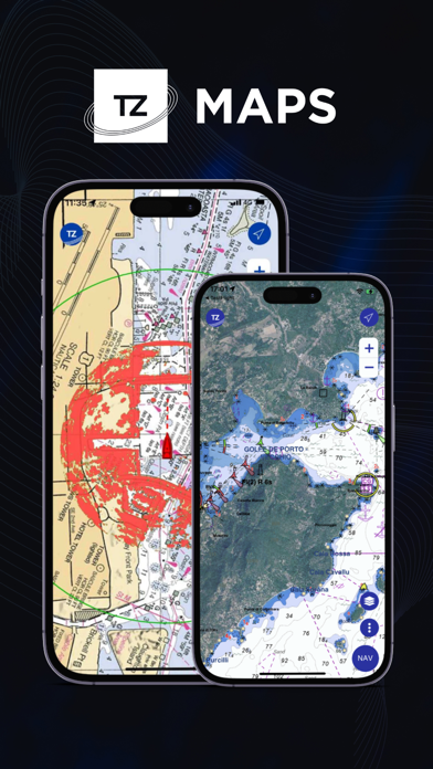
Experience the revolutionary TZ MAPS: a cutting-edge marine chart format that integrates Raster and Vector data, detailed land information, high-resolution satellite photos, and high-resolution Bathymetry. Unlock the full potential of TZ MAPS with a 7-day free trial.
- AIS ONLINE: access AIS targets beyond your local receiver’s range by connecting to our global AIS network via the Internet. When enabled, any AIS targets within your local receiver’s range will automatically be shared with the community. Note: This feature requires the AIS module, which must be purchased to enable AIS Online.
- COMMUNITY MAPS: contribute to the marine chart data in your navigation area by commenting, note-taking, voting, and modifying or deleting objects such as buoys, obstructions, and points of interest (restaurants and supply stores) in a participative way that benefits the whole TIMEZERO community, developing the most reliable and precise boat map.
- DYNAMIC MOORINGS: discover classified nearby anchorages based on weather forecasts and topography. Dynamic color coding (Red, Orange, Green) provides wind direction for optimized anchorage comfort.
- DYNAMIC LIGHTS: visualize light sectors according to your boat’s position and field of vision. Navigation lights on the map can flash in accordance with your position. Highlighted and flashing lights represent only those within your actual field of vision.
- SMART SEARCH: access a high-performance search engine to find any information on our marine charts (tide stations, rocks, buoys, etc.) as well as in your user object database (marks, routes. etc.). No more wasted time searching your map for a marina; enter the name and it will be automatically located on the map.
ATTENTION FISHERMEN! The following features have been developed especially for you:
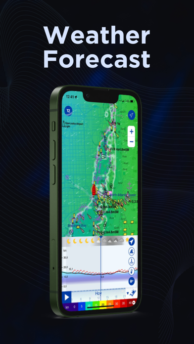
- SPORTFISHING OCEAN-O SUBSCRIPTION: Access all Premium Weather data, in addition to advanced oceanographic layers: SST, altimetry (SSH), chlorophyll concentration, and currents. Identify zones with conditions that attract fish, it’s simple, powerful, and built for everyday anglers.
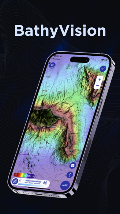
- BATHYVISION: Discover the best bottom data available and display it dynamically and intuitively in color and/or with contour lines. Adjust the contour lines’ density and shading to focus precisely on high-potential fishing areas.
- EVENT AND CATCH: Save all your catches (weight, size, and photo) and build your fishing, seamlessly integrated with your nautical chart.
Having access to the most accurate marine we
Frequently Asked Questions
Is TZ iBoat – Marine Navigation free?
Yes, TZ iBoat – Marine Navigation is free to download.
What is the rating of TZ iBoat – Marine Navigation?
TZ iBoat – Marine Navigation has a 4.6 out of 5 star rating based on 794 reviews on the Apple App Store.
Who made TZ iBoat – Marine Navigation?
TZ iBoat – Marine Navigation was developed by Nobeltec, Inc.. Visit their website at https://apps.apple.com/us/developer/nobeltec-inc/id1312769832?uo=2.
Developer
Explore More
Compare TZ iBoat – Marine Navigation with...
Related NAVIGATION Apps
Share & Embed
Use these badges on your website or blog to link back to this app's data.
Rating Badge
<a href="https://apppricinglab.com/app/apple/1312769833"><img src="https://apppricinglab.com/api/badge/rating?store=apple&app=1312769833" alt="TZ iBoat – Marine Navigation rating on App Pricing Lab" /></a>Rank Badge
<a href="https://apppricinglab.com/app/apple/1312769833"><img src="https://apppricinglab.com/api/badge/rank?store=apple&app=1312769833" alt="TZ iBoat – Marine Navigation ranking on App Pricing Lab" /></a>